
 8 photos


C-MAP · Maps & Lake Charts
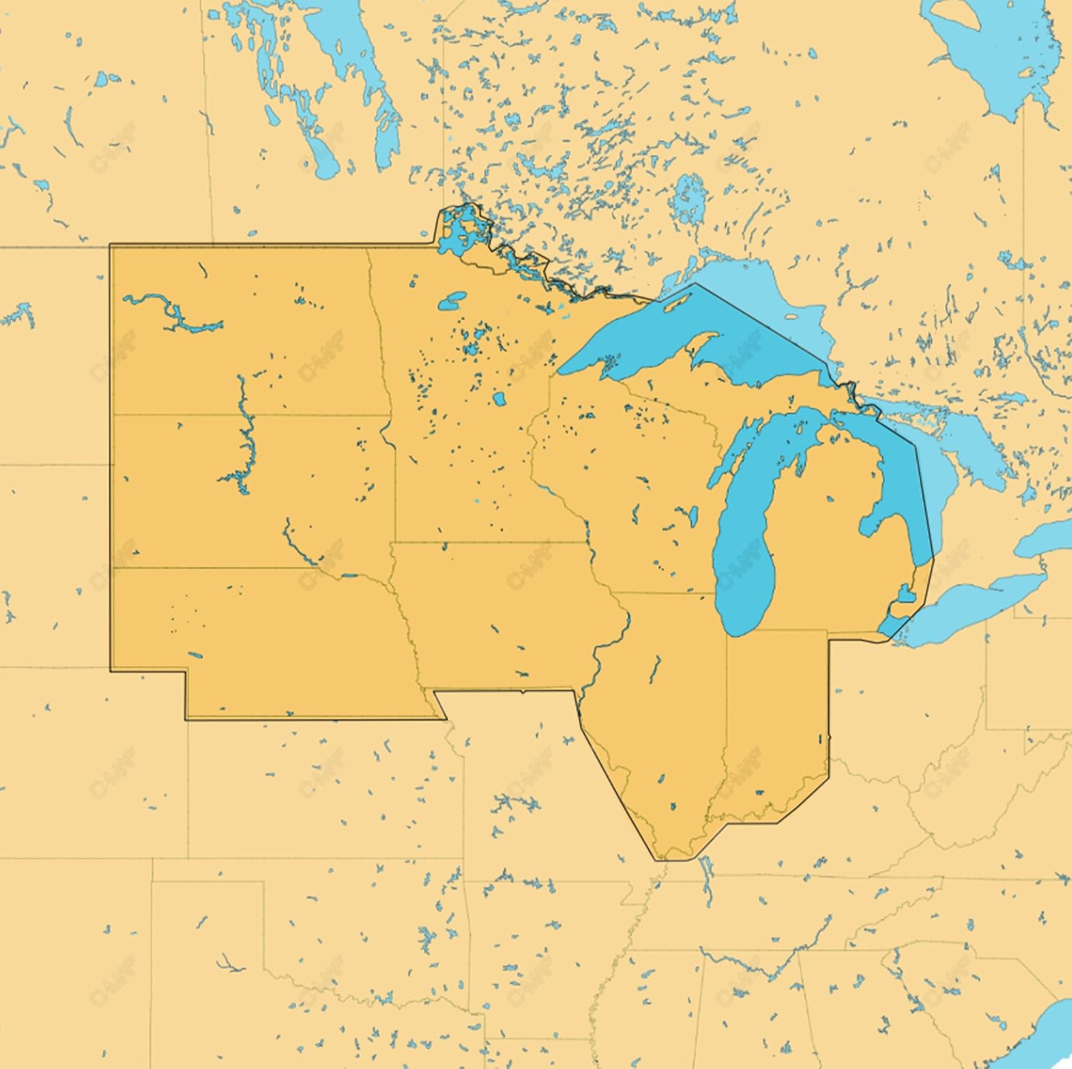
PopularC-MAP Reveal US Lakes North Central Map Card
Check price on AmazonAs an Amazon Associate First Cast Fishing earns a commission when you buy through links on this site, at no extra cost to you.
Options
- Item weight
- 22 g
Quick take
High-resolution digital lake map card for Lowrance and Simrad GPS units covering North Central US.
This C-MAP Reveal card covers inland lakes across the north central US and loads into compatible Lowrance, Simrad and B&G chartplotters. It layers shaded relief and high-resolution bathymetry over vector charts, which helps you read drop-offs, ledges, holes and humps before you fish them. Custom depth shading lets you tune the view, and automatic routing works without a subscription.
Best for
- Navigation in North Central US lakes
- GPS-equipped boats
- Identifying drop-offs and structure
Skip if
- You fish saltwater
- You need paper charts
Strengths
- High-resolution bathymetry shows underwater structure
- Shaded relief 3D view
- Custom depth shading for safety
Trade-offs
- Requires compatible GPS unit
- Map updates may be limited
- Learning curve for chartplotter operation
Fishing fit
- Water
- Freshwater
Specifications
| Type | digital map card for GPS |
|---|---|
| Coverage | US Lakes North Central |
Updated